Consulting, method and data for engineering decisions.
We stand by the client as a technical partner: we start from their questions, design the most suitable diagnostic campaign and return information that supports decisions.
Consulting before instrumentation
We do not simply propose surveys: we build a knowledge path together with the client. Every methodological choice is driven by the investigation objective, site constraints and the decisions the data must support.
Listening and preliminary analysis
We study documentation, project requirements and operational constraints to define the questions the diagnostics must answer.
Integrated diagnostic design
We select and combine the most appropriate techniques, integrating geometric, material, volumetric and degradation investigations.
Decision support
We deliver clear results and discuss them with the client, supporting design, maintenance and intervention choices.
Investigation strategy and consulting
We analyse objectives, constraints and documentation to define the most effective diagnostic path, without favouring one instrument over another.
- Requirements analysis
- Integrated methodology selection
- Operational planning
Field operations
We carry out surveys with state-of-the-art instrumentation and qualified technicians, ensuring quality and traceability of the acquired data.
- Rapid mobilisation
- Certified crews
- On-site quality control
Post-processing and interpretation
We process data with specialist software and interpret it in light of the engineering context, turning it into reliable knowledge.
- Specialist processing
- Cross-validation
- 3D modelling
Deliverables and decision support
We deliver clear technical reports, digital models and georeferenced maps, supporting the client in reading results and making subsequent choices.
- Technical reports
- GIS / CAD / BIM outputs
- Interpretive support
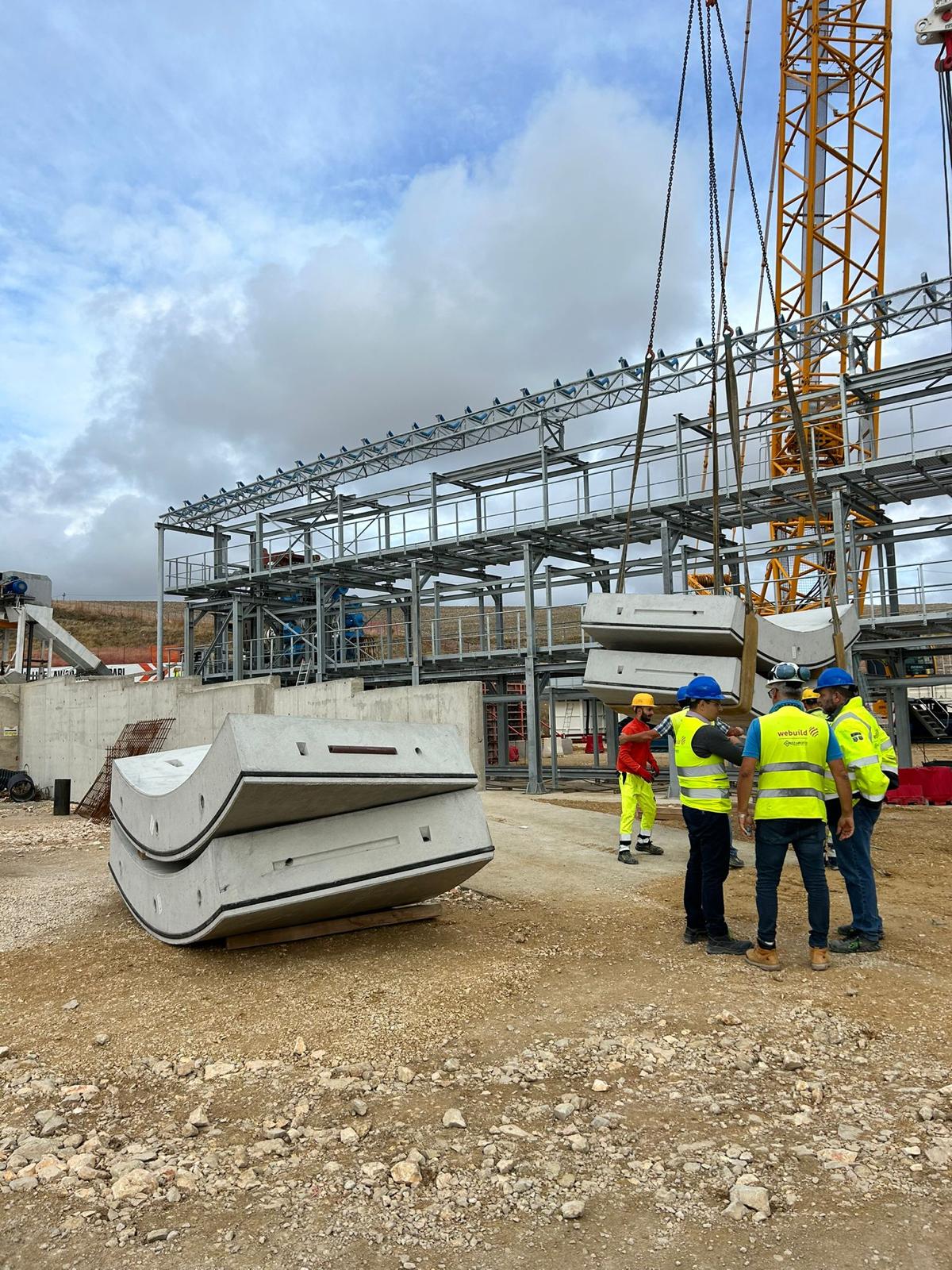
Technicians, data, decisions: one seamless pipeline.
Every project is managed by a multidisciplinary team integrating geophysics, structural engineering, surveying and data analysis. No hand-off gaps that dilute technical value: a single point of contact accompanies you from the first consultation to final delivery.