From radar pulse to interpretation
GPR emits electromagnetic pulses and records reflections caused by contrasts in subsurface properties. A radargram represents the response along a profile; interpretation relates signal shape, continuity and travel times to the site context.
An anomaly does not by itself identify an archaeological object or structure. Estimated depth depends on the assumed propagation velocity. These assumptions need to be stated rather than treating travel time as a certain geometric measurement.
Designing meaningful coverage
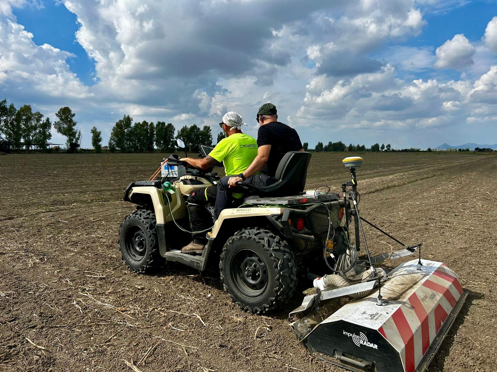
Area, access, surface conditions and objectives guide the choice between the documented pushcart, ATV and vehicle configurations. Multiarray acquisition supports extensive coverage, but profile density and orientation still need to match the target.
Georeferencing enables comparison of radargrams, maps and the project layout. Positioning, acquisition continuity and unsurveyed areas need checking and documentation.
Radargrams, time slices and deliverables
The project already includes GPR time slices over orthophotos and georeferenced plans. Time slices compare responses over travel-time intervals and help assess spatial continuity without replacing inspection of the original profiles.
Useful deliverables distinguish acquired data, interpreted anomalies and uncertainty. Maps and technical reporting support the appointed archaeologist; they do not replace archaeological verification or the documents under that professional’s responsibility.
Limitations and integration
Conductive ground, clay-rich materials, moisture and interference can attenuate or complicate the response. A universal investigation depth or detection of every buried feature cannot be promised.
Subsurface GPR does not duplicate the CND structural GPR guide: scale, propagation conditions and interpretation questions differ. Magnetometry and electrical resistivity may provide complementary information where appropriate.
Related guides
Frequently asked questions
- Does GPR automatically recognise archaeological remains?
- No. It detects contrasts and anomalies that require interpretation against the archaeological context.
- Is it always the first method to choose?
- No. Objectives, ground conditions, surface and interference may favour another method or an integrated survey.
- Which deliverables are available?
- The project documents radargrams, time slices, georeferenced plans and technical reports. Required deliverables are agreed for each project.
What information does your project need?
Share the objective, site constraints and required deliverables so we can assess an appropriate survey strategy.
Submit your case