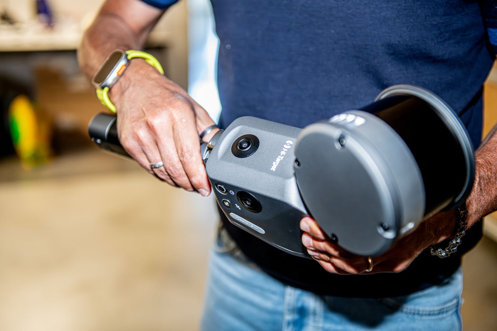
Acquisition while moving
SLAM stands for simultaneous localisation and mapping. While moving, the sensor trajectory and environment geometry are estimated from available observations; reconstruction depends on their quality and continuity.
The project documents mobile laser scanning, not a specific model or SLAM architecture. This guide describes general use and verification criteria without promising algorithms, performance or features of the pictured equipment.
Productivity in complex environments
Along complex routes, room connections and indoor/outdoor transitions, dynamic acquisition may reduce repositioning compared with many static stations. This is a potential operational benefit dependent on access, route, geometry and required checks.
Productivity should be assessed across the complete process, including repeats, processing and verification, not just walking time. A quick route with incomplete data may require further acquisition.
Drift and loop closure
Drift is accumulated error in trajectory estimation. Long routes, repetitive geometry, corridors with few distinctive features or interruptions can weaken constraints and deform the point cloud.
Loop closure connects part of the route to a previously observed area, providing constraints to correct accumulated inconsistency. It does not automatically remove all error: ambiguous recognition or weak geometry requires further checks.
Relative precision and reference-system accuracy
Consistency between nearby surfaces differs from the accuracy of the complete cloud in a survey reference. Good local relative precision can coexist with drift or larger-scale deformation. Point density does not demonstrate accuracy.
Compared with a well-designed and checked static survey, mobile acquisition may involve trade-offs in local definition and global consistency; this is not a universal numerical rule. Selection depends on project tolerances and checks on acquired data.
Plan the route and checks
The route should maintain continuity, overlap and returns to recognisable areas where appropriate. Critical areas may require repeats or complementary static acquisition. Equal quality in every environment is not assumed.
Distributed survey controls and independent checkpoints help verify positioning and identify inconsistencies. Points used to constrain data must be distinguished from verification points, with limitations stated for unchecked areas.
Related guides
Frequently asked questions
- Is SLAM always faster than static scanning?
- No. It may reduce repositioning, but final productivity depends on the environment, checks, repeats and processing.
- Does loop closure eliminate drift?
- It can reduce trajectory inconsistency but does not independently guarantee survey accuracy.
- Does SLAM replace survey controls?
- No. A reference and independent checks are needed when a project requires metric verification and positioning.
- When should static scanning be added?
- When detail or verification in critical areas requires more controlled local acquisition.
What information does your project need?
Share the objective, site constraints and required deliverables so we can assess an appropriate survey strategy.
Submit your case