From project to geometric information
Digital surveying describes the geometry and position of surfaces, structures and terrain. Topography, GNSS, laser scanning and aerial acquisition are not interchangeable: coverage, detail and checks must match the intended use.
Consultancy starts with the object, access, reference system and final products. A point cloud, a 3D model and an as-built BIM model are different stages, not alternative names for the same output.
Ground methods and dynamic acquisition
Static laser scanning acquires from fixed stations that need registration and checks. Mobile SLAM acquires while moving and estimates trajectory and map together. It may reduce repositioning along complex routes but requires drift management and independent verification.
The project documents a mobile scanner for indoor and outdoor environments. The SLAM guide explains principles and assessment criteria without attributing an undocumented model, algorithm or accuracy to that asset.
UAV LiDAR and photogrammetry
UAV LiDAR measures ranges using laser pulses from an aerial platform; photogrammetry reconstructs geometry from overlapping images. Acquisition planning, survey reference and coverage checks are central to both.
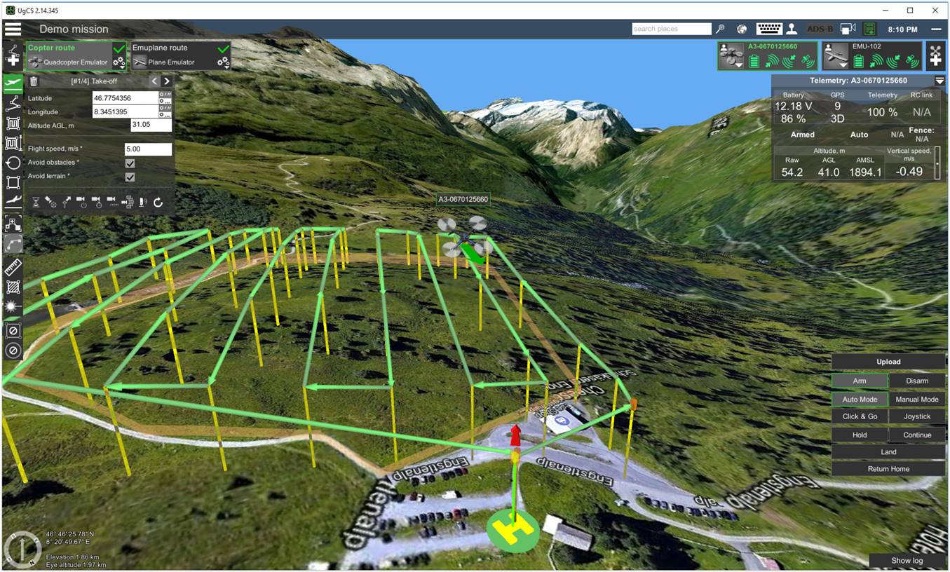
Services already includes drone LiDAR and LiDAR/photogrammetry mission planning. These assets document setup and planning, not proof of output accuracy or completeness.
Integrate and check
A common survey reference connects ground and aerial acquisition. Registration, georeferencing and independent checkpoints address different questions: a visually coherent point cloud is not necessarily accurate in the project reference.
Deliverables should state missing areas, processing criteria and limitations. Geometric surveying can support diagnostics but does not replace CND or SHM: it describes shape and position rather than internal material response or behaviour over time.
Related guides
Frequently asked questions
- Which technique should be chosen for a building?
- It depends on detail, access and deliverables. Static, mobile and photogrammetric acquisition can be assessed and integrated with survey checks.
- Is a point cloud already a BIM model?
- No. Modelling requires interpretation, detail choices and verification against survey data.
- Do more points mean higher accuracy?
- No. Density, relative precision and reference-system accuracy are different aspects.
What information does your project need?
Share the objective, site constraints and required deliverables so we can assess an appropriate survey strategy.
Submit your case