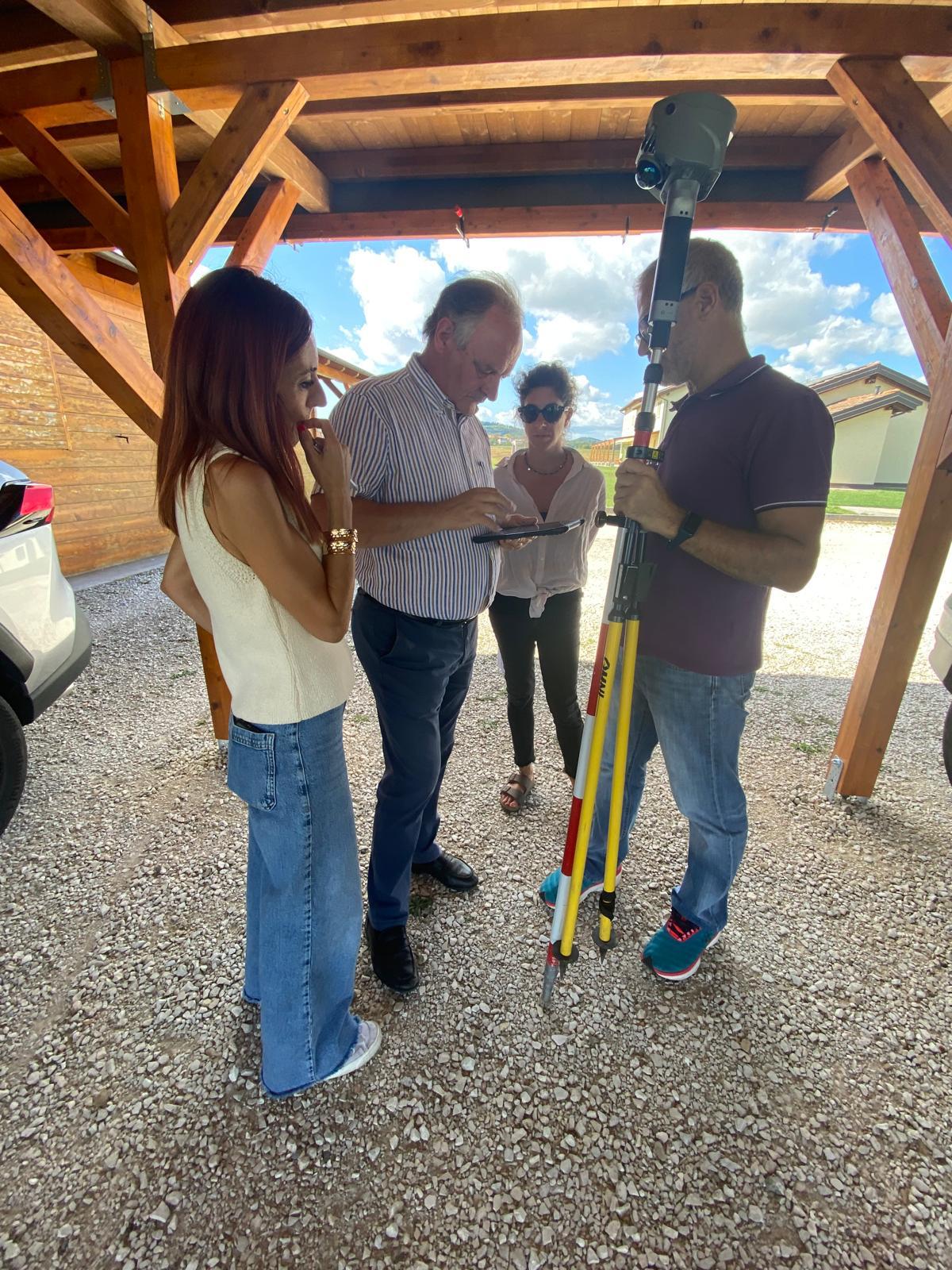
Acquisition from fixed stations
A terrestrial scanner measures ranges and directions to describe surfaces visible from each station. Multiple positions extend coverage and address occlusion without guaranteeing capture of every surface.
Station locations are designed around geometry, access and useful detail. Hidden areas require additional stations or a complementary technique.
Registration and reference
Scans must be connected using suitable overlap, references or constraints. Registration aligns datasets; georeferencing places them in the project reference. These are different operations.
Total stations and GNSS, already present in Services, can support reference establishment and checks where applicable. Points used to connect scans should not be confused with independent checkpoints.
Survey quality and limitations
Reflective, transparent or dark surfaces, unfavourable angles and moving objects can affect data. Noise, coverage and inter-station consistency need checking, with problematic areas stated.
Controlled static scanning is often useful as a reference for local detail; actual precision depends on instrument, range, geometry, registration and checks. No universal precision is attributed to the method.
From point cloud to deliverables
Clouds, sections and models must address the client’s question. As-built BIM requires modelling decisions and comparison with the survey; it is not an interpretation-free automatic conversion.
Mobile SLAM can complement extensive complex routes; UAV LiDAR and photogrammetry can add exterior surfaces. Integration should preserve the contribution and limits of each acquisition.
Related guides
Frequently asked questions
- Does static mean automatically more accurate?
- No. Geometry, registration and reference require checks. Quality does not depend solely on the method name.
- How are occlusions handled?
- By planning additional stations or complementary acquisition and stating any areas that remain unsurveyed.
- Can it be integrated with SLAM?
- Yes, using a common reference and independent checks without assuming identical quality across datasets.
What information does your project need?
Share the objective, site constraints and required deliverables so we can assess an appropriate survey strategy.
Submit your case