Define each method’s contribution
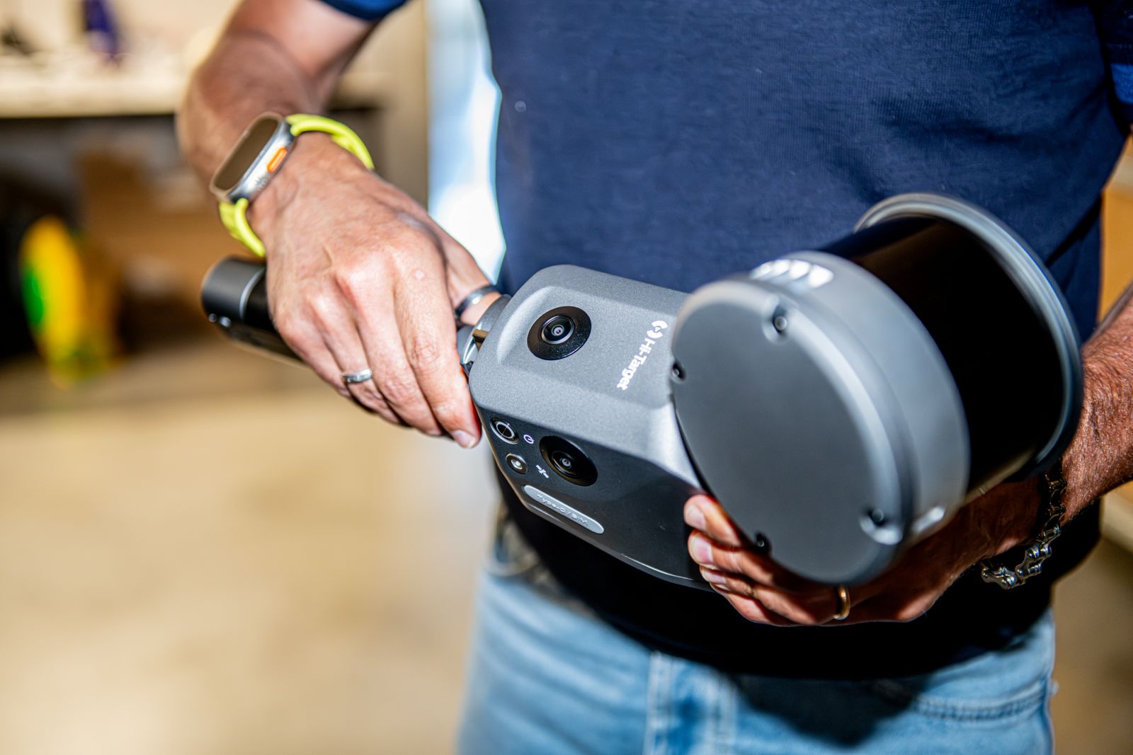
Terrain, roofs, facades and interiors create different visibility and detail challenges. An integrated project assigns each method a task: aerial coverage, route connection, local detail or visual information.
These are methodological applications, not new completed Novatest case studies. Existing capabilities from Services are reused without inventing sites, results or figures.
One reference, distinguishable datasets
The survey network connects acquisitions, while registration and georeferencing need checking for each dataset. Visual overlay alone does not demonstrate metric consistency.
Source, acquisition date and quality should remain traceable. Data captured under different conditions should not be merged in ways that prevent contribution assessment.
Handle occlusion and quality differences
Static scans may check local details, mobile acquisition may connect complex routes and UAV acquisition may capture surfaces from above; photogrammetry can add image-derived information. No method automatically completes another.
Dataset transitions, critical areas and unmeasured parts need checking. Different density and noise require explicit processing choices rather than assuming uniform precision.
Deliverables and design use
Point clouds, sections, 3D models and as-built BIM are defined by intended use. Modelling introduces choices and simplification: comparison with survey data and limitations statements remain necessary.
Geometric data can support design and understanding of existing structures, but alone does not certify materials, internal defects or structural behaviour. CND investigations and monitoring retain distinct purposes.
Related guides
Frequently asked questions
- Does integration mean using every method?
- No. Each acquisition needs to add necessary information or a useful check.
- How are point-cloud transitions checked?
- With a common reference, assessed overlap and independent checks in significant areas.
- Does an integrated model certify structural condition?
- No. It describes geometry; material and behavioural investigations require specific workflows.
What information does your project need?
Share the objective, site constraints and required deliverables so we can assess an appropriate survey strategy.
Submit your case