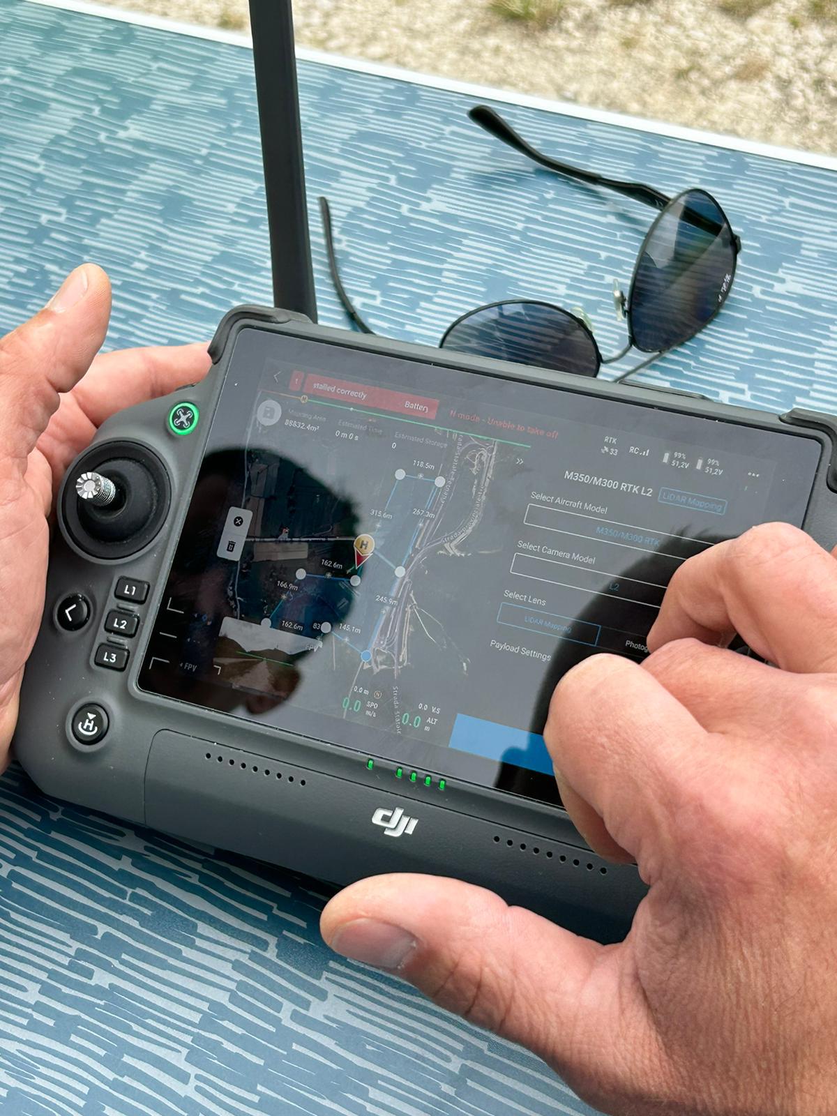
Laser measurements from an aerial platform
UAV LiDAR acquires laser ranges during flight. Reconstruction combines measurements with platform position and orientation; point-cloud quality depends on the full process, not just the sensor.
The project already documents LiDAR planning and UAV platforms. This supports the technical workflow without authorising numerical promises about density, productivity or accuracy.
Design the mission
Terrain, obstacles, access, coverage and required detail guide flight paths. Existing mountainous-terrain planning illustrates why height and acquisition geometry must be assessed against actual terrain.
Operating conditions, necessary permissions and flight feasibility need verification. The method is not assumed to capture any area without constraints.
Check and classify the cloud
Strip consistency, georeferencing and independent checkpoints are part of verification. Classification distinguishes surfaces and ground where observed; it cannot create measurements that were not acquired.
Vegetation may allow some returns from underlying surfaces, but ground coverage is not guaranteed beneath every canopy. Gaps and classification uncertainty need to be stated.
Combine ground and aerial data
UAV acquisition covers different perspectives from ground surveying. Facades, overhangs and hidden areas may require static, mobile or additional acquisition; integration needs a common reference.
A point cloud, a surface model and a terrain model serve different purposes. Deliverables should be defined before acquisition and checked against actually observed areas.
Related guides
Frequently asked questions
- Does LiDAR always see ground beneath vegetation?
- No. It depends on vegetation, geometry and actual returns. Gaps need to be stated.
- Does it replace ground surveying?
- Not necessarily. Perspectives and occlusions may require complementary acquisition.
- Does density demonstrate accuracy?
- No. Reference, consistency and point-quality checks are required.
What information does your project need?
Share the objective, site constraints and required deliverables so we can assess an appropriate survey strategy.
Submit your case